AgWise / Data Sources
AgWise generates recommendations using biophysical and socio-economic data, primarily sourcing standardized public field trial data through tools like Carob and GARDIAN. It also integrates data from public databases and proprietary sources accessible through partnerships with organizations like IFDC, One Acre Fund, Kilimo, CoW, OFRA and KALRO.
Efforts also focus on supporting field data collection and on leveraging data from countries with similar agroecologies.
This integrated approach ensures that AgWise generates accurate, relevant, and actionable recommendations.
Soils
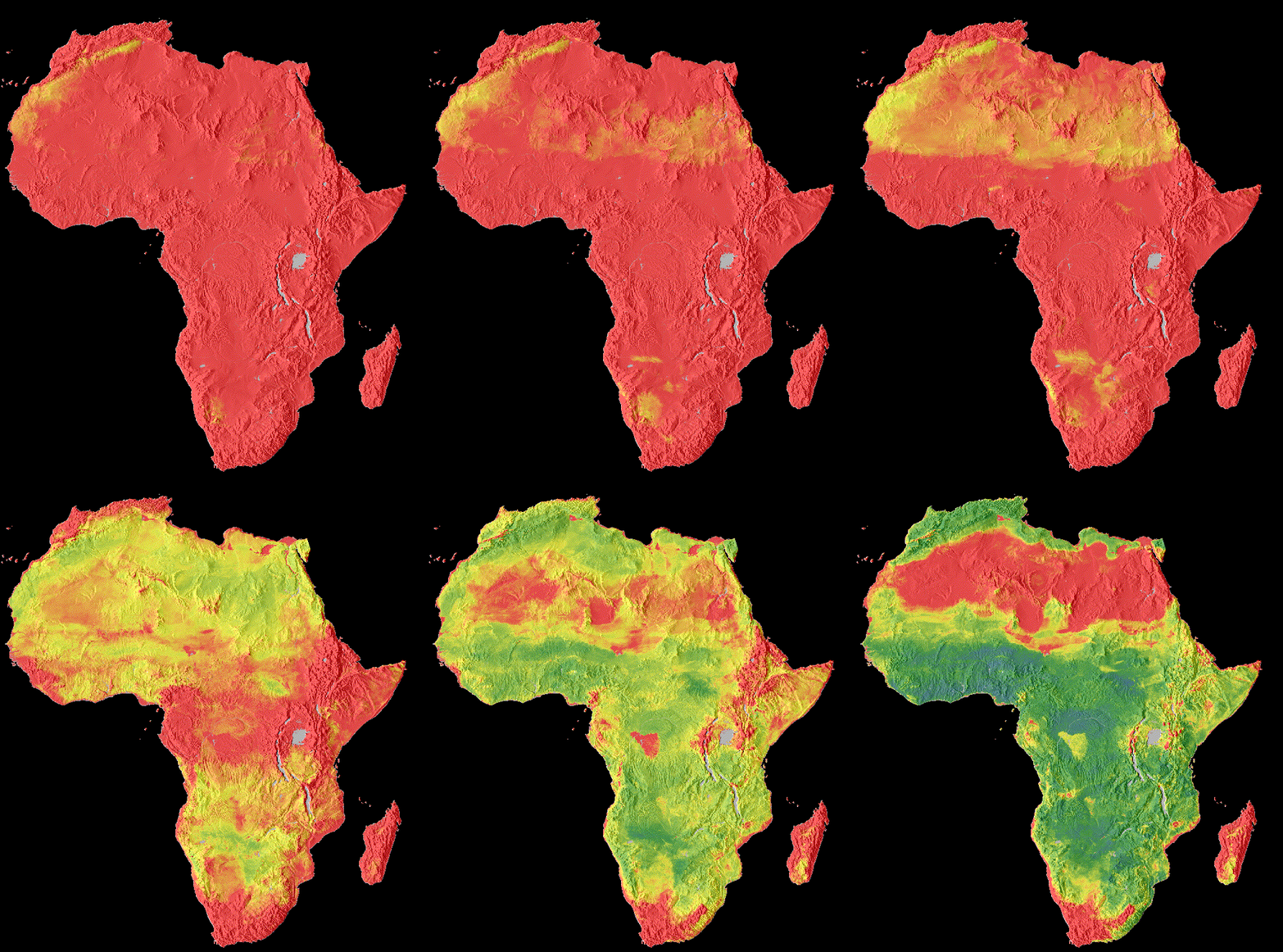
SoilGrids and iSDA are sourced to obtain high-resolution soil properties for multiple soil depths. This information is essential to understand the fertilizer requirements of different crops.

SoilGrids
Provides soil information at a spatial resolution of 250 m at depths of 0-5 cm, 5-15 cm, 15-30 cm, 30-60 cm, 60-100cm and 100-200 cm
iSDA
Has a spatial resolution of 30 s with depths of 0-20 cm and 20-50 cm.
Additionally, by applying pedo-transfer functions based on texture and soil organic carbon, extra variables required by the crop models (e.g., wilting point, field capacity) are derived.
Weather
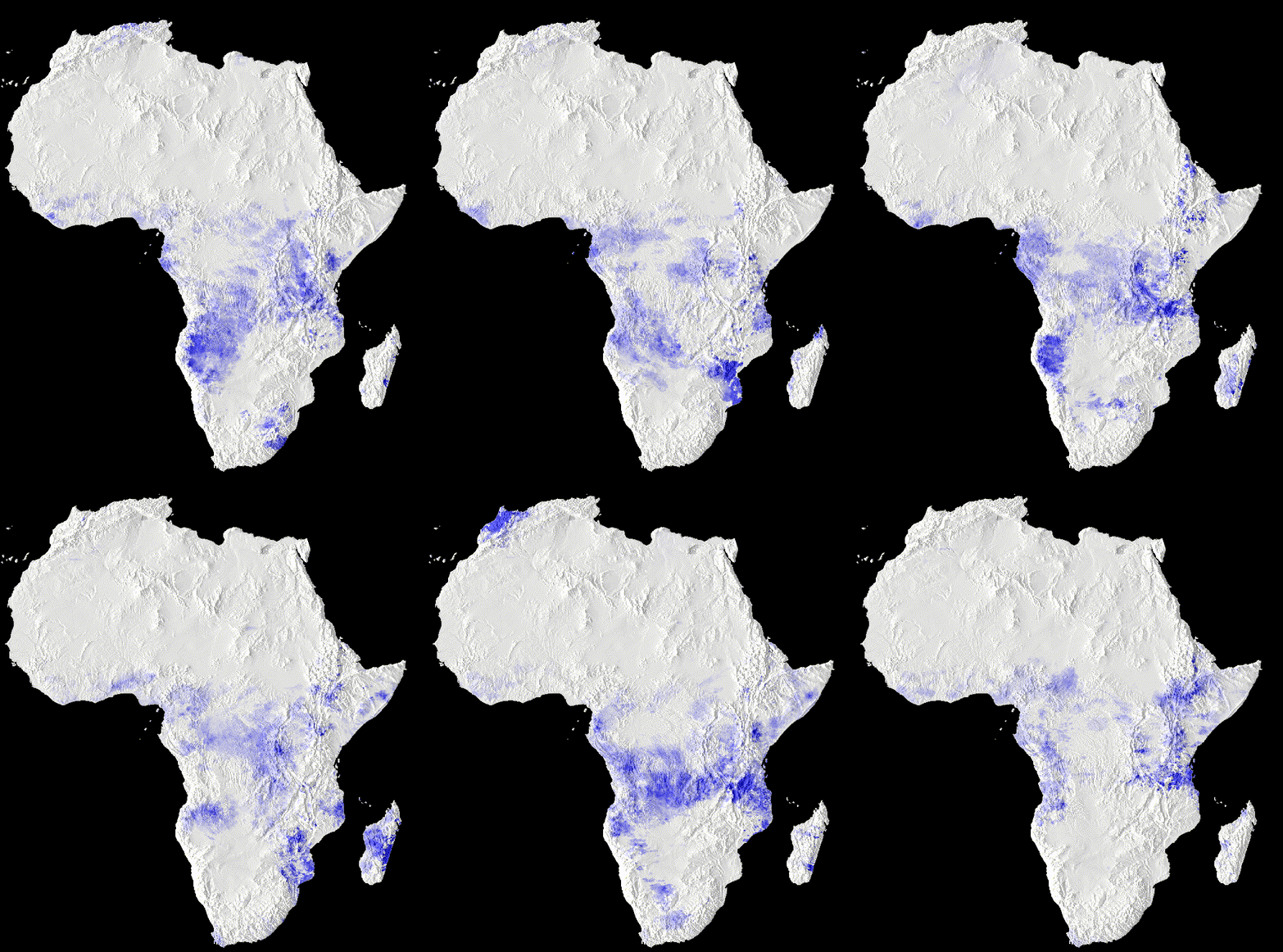
AgWise uses high-resolution weather information including CHIRPSv2 and AgERA5 to understand the yields of different crops under rainfed conditions.

CHIRPS
Daily precipitation are sourced from CHIRPS v2.0 at a spatial resolution of 0.05°.
AgERA5
Daily solar radiation, relative humidity, wind speed, and minimum and maximum temperature are sourced from AgERA5. AgERA5 uses the data ERA5 provided by the European Copernicus program, making different agrometeorological variables available at a spatial resolution of 0.1°.
Access scripts for weather data sourcing on GitHub